Mapping opportunities
With Nature-based solutions there are a multitude of potential options, with the suitability depending on the local context and habitats present. We have developed a system for generating maps of potential NbS and nature recovery opportunities using existing datasets and a series of simple rules. The user provides boundaries of the area(s) of interest, and the guidance provides instructions on how to download the necessary input data and run the code to generate the maps.
Who can use these maps?
The mapping process requires a basic understanding of python, access to ArcGIS, and a license to use Ordnance Survey Mastermap (OSMM). Local habitat data can be included if available. The system works anywhere in England and we are extending it to use equivalent datasets from the other UK nations.
We envisage that the maps could be used by local councils (especially for developing Local Nature Recovery Strategies), Local Environmental Record Centres, consultants, academics, Local Nature Partnerships, landowners, Farmer Clusters, Catchment Partnerships, and similar groups, provided that they have access to OSMM and ArcGIS.
Why use the Agile maps of NbS and nature recovery opportunities?
- Agile maps are based on Ordnance Survey Mastermap, so they are highly accurate and detailed even down to the level of a roadside verge.
- Agile maps include key factors affecting constraints and opportunities, such as Agricultural Land Class, nature and cultural designations, slope, soil type, drainage, and distance from different types of core habitat.
- These multiple layers of information are integrated into a single dataset to make scenario testing and decision-making easier.
- The Agile process is designed to work with real-world datasets, cleaning up ‘messy boundaries’ that do not match each other exactly. Final boundaries will match OS Mastermap except where new habitat patches need to be added within OSMM polygons.
- The maps are tailored to meet the requirements of the Local Nature Recovery Strategy (LNRS) Local Habitat Map, identifying opportunities for nature recovery that also deliver wider benefits for people.
- The Agile system is free to use, and it is quick and easy to update the maps when input data changes.
- The system is transparent and adaptable – we can provide support for modifying the approach to take into account local criteria.
How should the maps be used?
The Agile maps are decision-support tools to be used as part of a participatory governance and engagement process involving local communities and other stakeholders (see our Recipe for Engagement). They identify potential opportunities for different types of NbS based on available biophysical and socio-economic data, but should always be ground-truthed in partnership with local experts (see our Ground-truthing guide). The maps can provide suggestions and inspiration for what NbS options may be suitable in different areas, and communities can then decide what options would be most useful and relevant to their needs and their local context. This can be done using tools such as Public Participatory Mapping.
What practitioners are saying
“The Agile map and dataset has been a huge help in the light of the very tight LNRS deadlines. It is providing an excellent “back-bone” around which to construct and illustrate the description of the LNRS areas as required by Task 3. It has also proved to be very useful in the initial stages of stakeholder consultation.”
Simon Pickles, North and East Yorkshire Ecological Data Centre, March 2024.
How to get the maps
If you are interested in using the Agile system to generate maps for your local area, please fill in this form.
For more information:
Download a description of the mapping system, and the data sources we use.
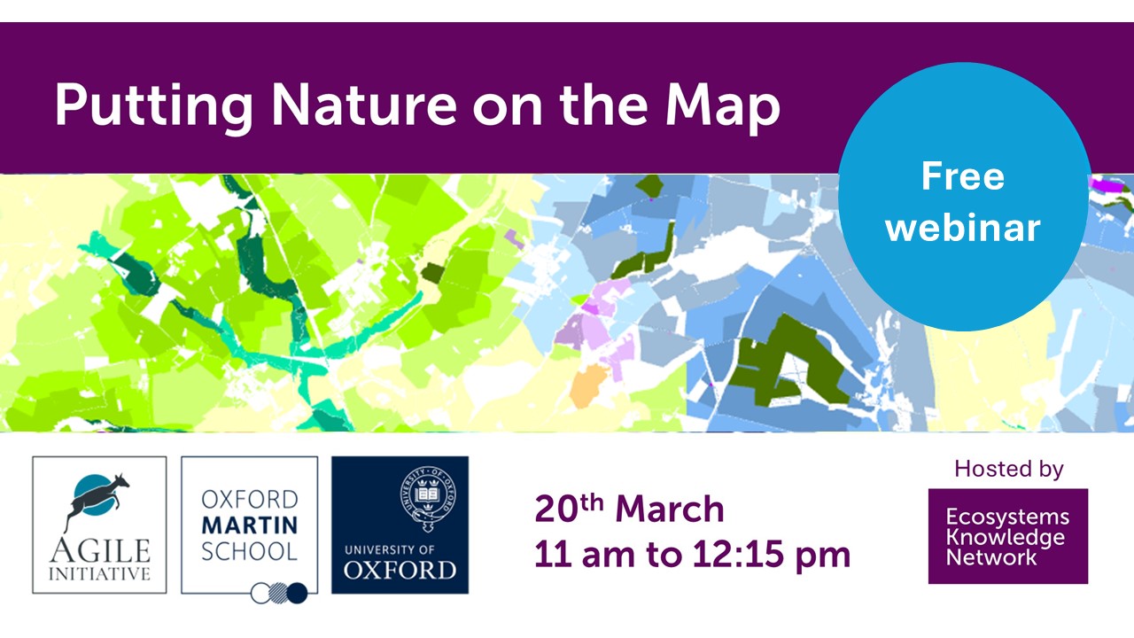
Watch the recording of the webinar hosted by the Ecosystems Knowledge Network to introduce the mapping tool.
See the slides from the webinar: Agile nature recovery and NbS maps presentation.


